Finds the page that proves it. Retrieval and assertion happen per attribute, and every citation resolves at the moment the claim is made.
- In
- A segment and whatever is known about it
- Out
- Citations to specific issues and pages, one per claim
Trade-press ingest from Internet Archive and an authority-ranked search over it, with era-keyed vocabulary: "gas works" in 1887, "pipe line" in 1937.
- In
- Digitized journal runs
- Out
- Ranked passages with identifiers that resolve
The network and evidence model, PostGIS, and an audited CRUD API. One model for roads, power, oil, gas and water: segments, junctions, direction and flow.
- In
- Writes from every producer and from review
- Out
- An API, and PostGIS that QGIS opens directly
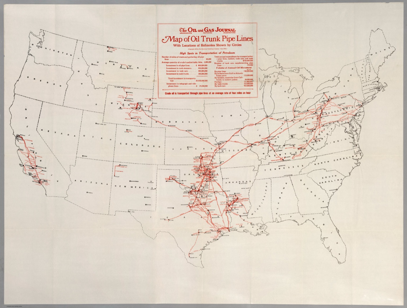
IIIF image serving, a self-hosted Allmaps editor, and the annotation server it needs. The editor doubles as the georeferencing review tool.
- In
- Scanned map images
- Out
- A georeference annotation with a permalink
Finding the lines on a georeferenced map, and not the county boundaries and railroads that look just like them. Conservative by design.
- In
- A georeferenced map and its symbology
- Out
- Candidate segments, unreviewed
Existing hand-made spreadsheets and traces, brought into the model, mess and all. The earliest real test of the data model.
- In
- Spreadsheets and traces
- Out
- Structured records in store
An authenticated app where people accept, correct or reject machine output. No machine-generated claim reaches a release without passing through it.
- In
- Candidate traces and machine citations
- Out
- Verdicts, with the reviewer in the audit trail
Versioned, citable builds of the dataset that play as a timeline in QGIS straight out of the box.
- In
- store
- Out
- GeoPackage and GeoJSON